
 |
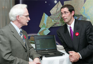
| Alex Miller, president of ESRI Canada, and James Boxall, director and curator of the GIS Centre and Map Collection, confer at an event held on GIS Day. (Nick Pearce Photo) |
Some heads are turning in our direction due to the extensive application of Geographic Information Systems (or GIS) around the campus.
Dalhousie was recognized with an Award of Excellence at a national conference recently held in Dartmouth. The presentation coincided with GIS Day — an international celebration which has taken place since 1999 and occurs in conjunction with Geography Awareness Week.
“The award is going to a very deserving organization that is dedicated to creating awareness and advancement of GIS,” says Alex Miller, President of ESRI Canada. “Dalhousie has become one of the leading universities in Canada for the campus-wide implementation of GIS technology — I applaud their efforts.”
Over the past five years the university has successfully rolled out ESRI technology, making it available to all students and faculty. “Having access to these tools allows for enhanced analysis and results in conducting research projects throughout the various university departments,” says Mr. Boxall. “It also provides a real-world learning environment for students and better prepares students for the workplace.”
The campus community is using GIS for research in areas as diverse as Architecture and Planning, Earth Sciences, Information Management, Marine Biology, and Population Health — to name but a few.
For more information, watch for a feature in the print edition of Dal News, arriving on campus Nov. 21.
For other stories, see: